
Map of Bac Ninh province through periods

(BNP) – Bac Ninh is a delta province in the Northern Delta. Bac Ninh shares its borders with Bac Giang province to the North and Northeast, Hai Duong and Hung Yen provinces to the Southeast and South, Hanoi capital to the West and Northwest. Let's take a look at the map of Bac Ninh province through the periods after 190 years of establishment of the province.

Thua Tuyen Kinh Bac in Hong Duc map consisted of 4 capitals (phủ), 20 districts (huyện). The North borders Lang Son and Thai Nguyen; the South borders Son Nam and Hai Duong; the East borders Lang Son and Hai Duong; the West borders Son Tay, and Nhi Ha river.
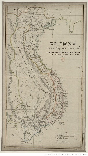
Bac Ninh province in “An Nam đại quốc họa đồ” (A Map of Great An Nam) in 1838.
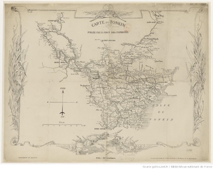
Bac Ninh province in the map of Tonkin in 1849.

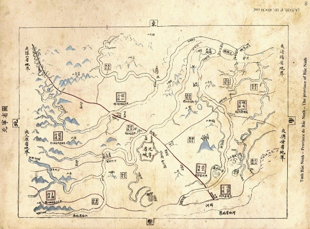
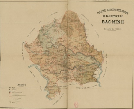
Map of Bac Ninh province in 1883.
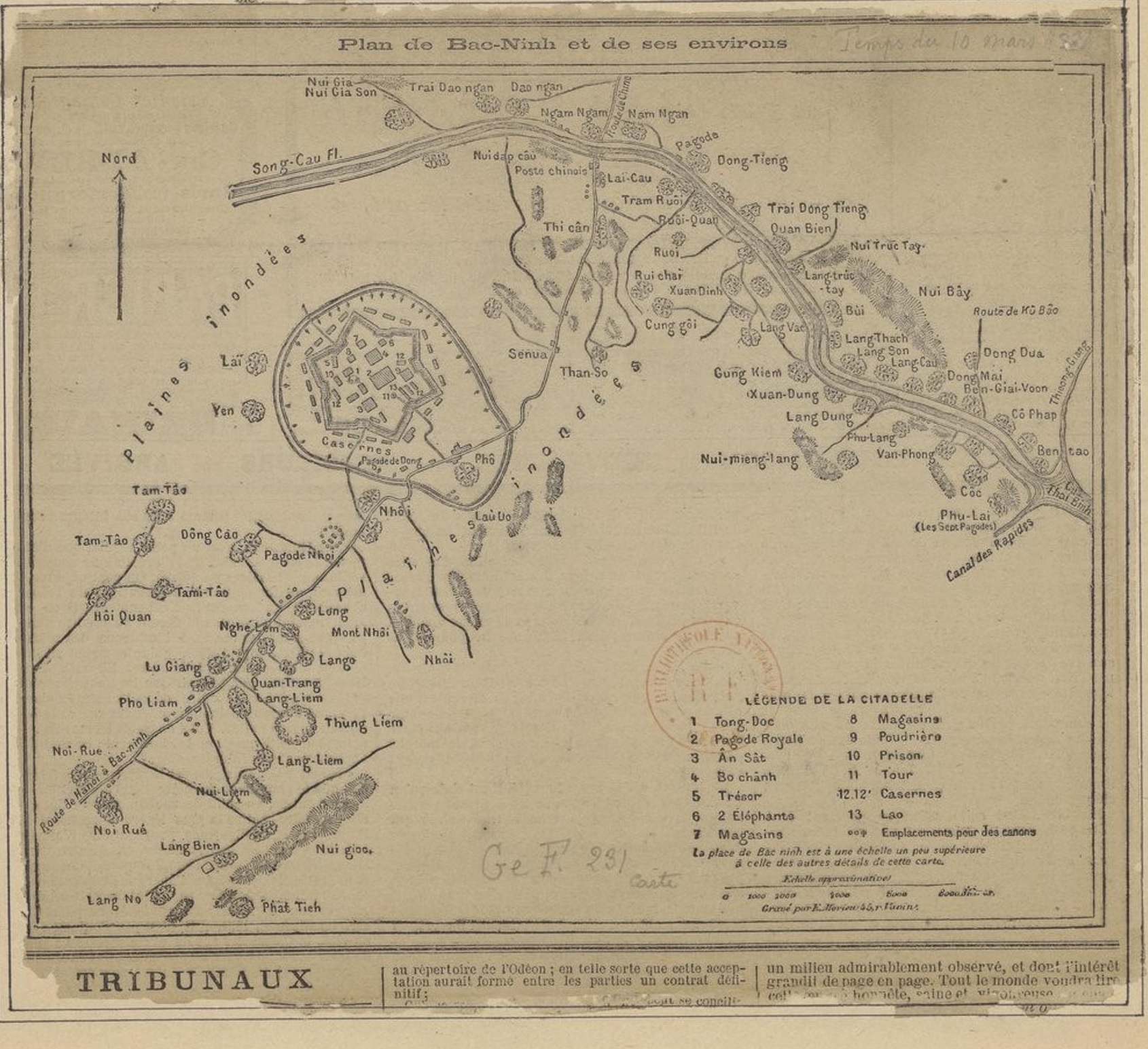
Map of Bac Ninh province and its vicinity in 1884.
Map of Bac Ninh province in Dong Khanh map (1886 - 1887). The city is located in the territory of three communes: Do Xa (Vo Giang district), Hoa Dinh (Tien Du district), Yen Xa (Yen Phong district). The eastern province borders Chi Linh district and Thanh Lam district (Hai Duong province). The West borders Yen Lang district (Son Tay province) and Binh Xuyen district (Thai Nguyen province). The South borders Tho Xuong district and Thanh Tri district (Hanoi). The North borders On Chau and Yen Bac district, Truong Khanh capital (Lang Son province). The province has 4 capitals, 2 sub- capitals, and 20 districts.

Map of Bac Ninh province in 1888.
Map of Bac Ninh province in 1891.
Map of Bac Ninh province in 1896 (in the map set of Hai Duong - Bac Ninh 1896).
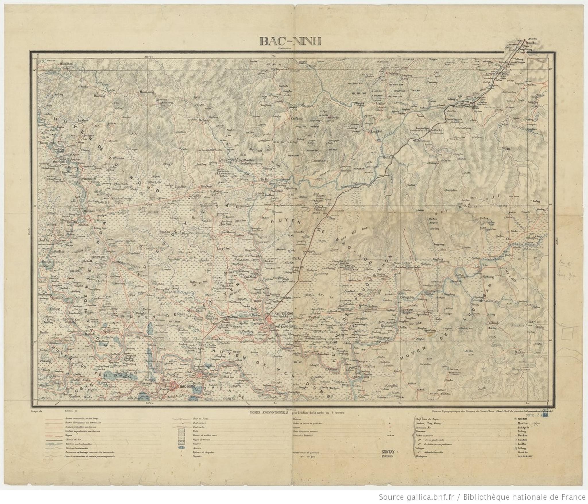
Map of Bac Ninh province in 1904.
Map of Bac Ninh province and its vicinity in 1909.

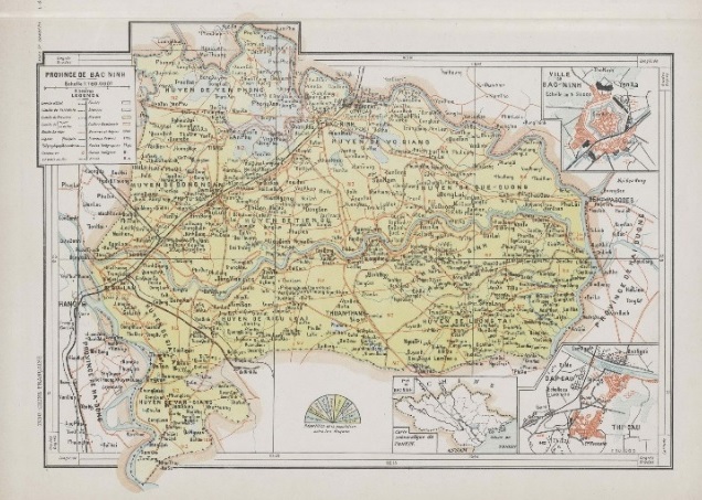
Map of Bac Ninh province in 1923.
Map of Bac Ninh province in 1935.
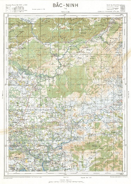
Map of Bac Ninh province in 1943.
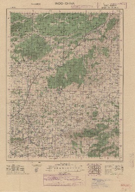
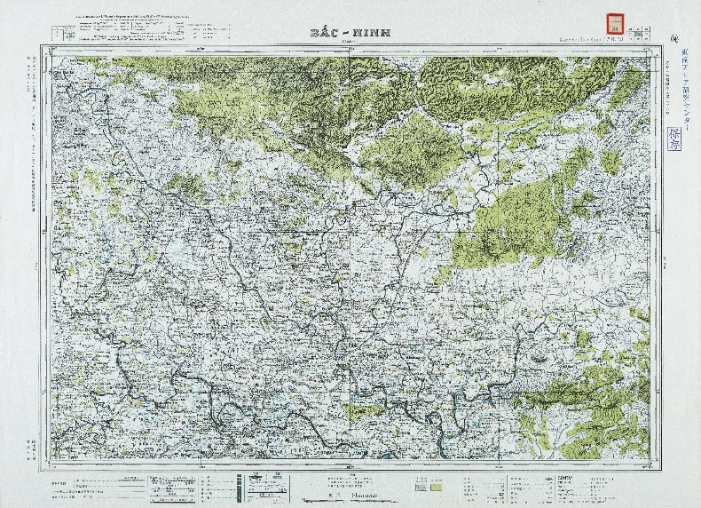
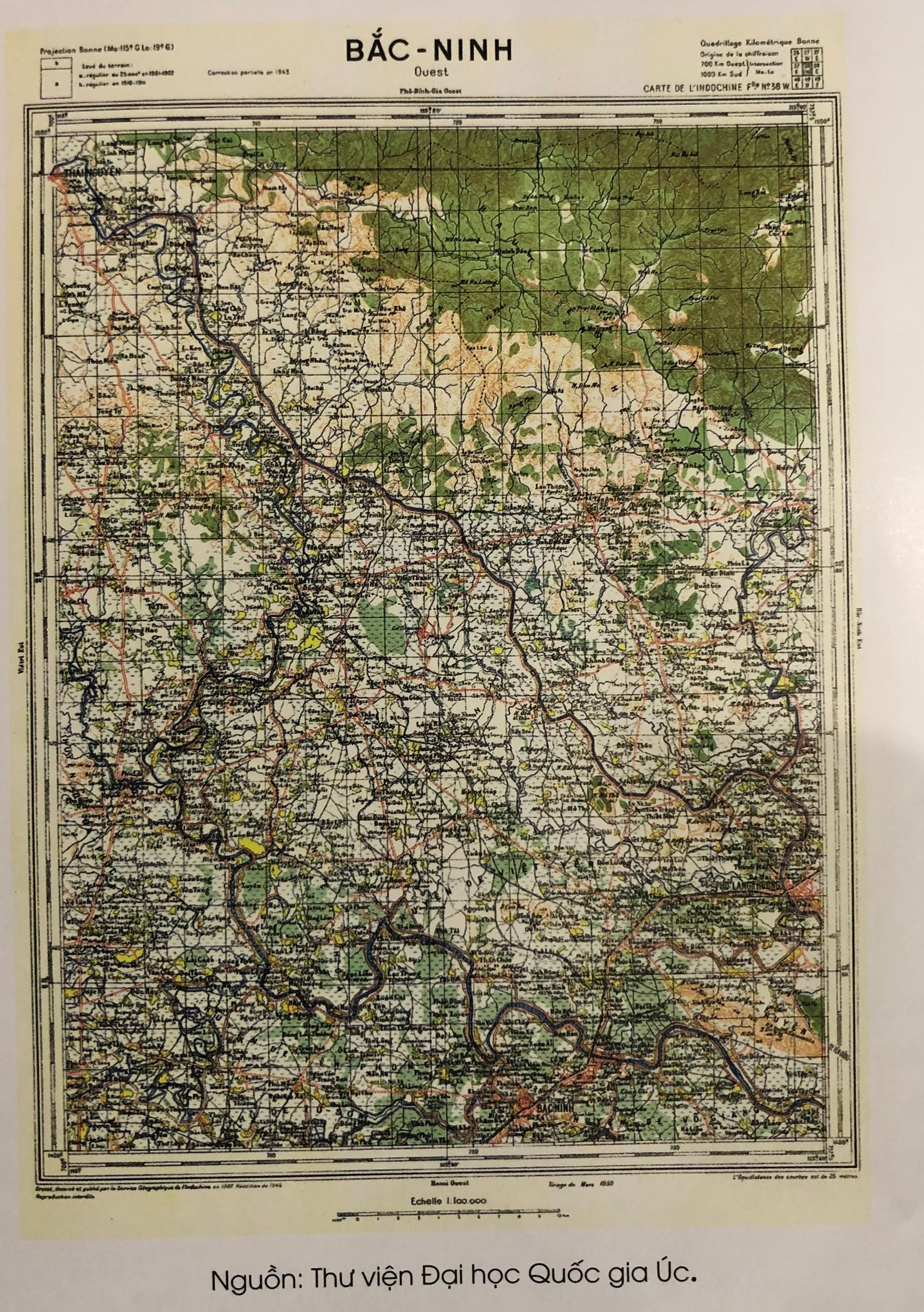
Map of Bac Ninh province in 1950.

Map of Ha Bac province in 1962.

Map of Bac Ninh province at the end of the 20th century.

Currently, in the map, Bac Ninh province has natural area of 822.7km2, including 2 cities (Bac Ninh, Tu Son) and 6 districts (Gia Binh, Luong Tai, Thuan Thanh, Que Vo, Tien Du, Yen Phong). It borders Bac Giang province to the north, Hai Duong province to the east, Hung Yen province to the south, and Hanoi to the west and southwest. (Photo provided by Provincial Museum).