Approving task of urban master plan in Lam Thao and Trung Kenh (Luong Tai district)
(BNP) - The Provincial People's Committee signed and promulgated Decisions No. 259, No. 260/QD-UBND approving the task of urban master plan in Lam Thao and Trung Kenh, Luong Tai district until 2035.

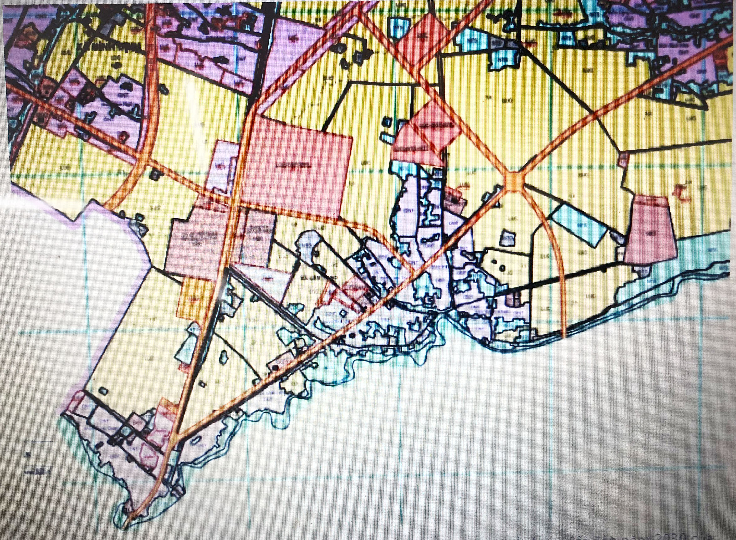
Map of land use planning in Lam Thao commune
According to Decision No. 259/QD-UBND, the scale of Lam Thao urban master plan includes the entire administrative boundary of Lam Thao commune, specifically: the Northeast borders Phu Luong commune; the northwest borders Binh Dinh commune and Cam Giang district, Hai Duong province; the southwest and east border Cam Giang district, Hai Duong province; the area is about 628.60 hectares, the current population is about 6,041 people.
Lam Thao urban master plan meets the criteria of a grade-V urban area, being an industrial, service and commercial urban area, the southwest gateway of Luong Tai district.
In Decision No. 260/QD-UBND, the scope of Trung Kenh urban master plan includes the entire administrative boundary of Trung Kenh commune, specifically: the East borders with Thai Binh river; the West borders An Thinh commune, My Huong commune and Lai Ha commune; the south of Lai Ha commune; the North borders An Thinh commune, with an area of about 704.3 hectares, the current population is about 9,624 people.
Trung Kenh urban master plan, Luong Tai district meets the criteria of a grade-V urban area, being a service and commercial city, the eastern gateway of Luong Tai district./.


